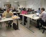
Last week 19 persons from various government entities on Sint Maarten (17), Anguilla (1) and the British Virgin Islands (BVI) (1) took part in part two of the Geographic Information Systems (GIS) and Remote Sensing Course for Infrastructure Management and Disaster Risk Reduction. There has been a rapid growth in the use of digital spatial and temporal data in many aspects of disaster management, for example, preventive planning, response and recovery. Section Head of Disaster Management Paul Martens said the course was successfully concluded last week.